
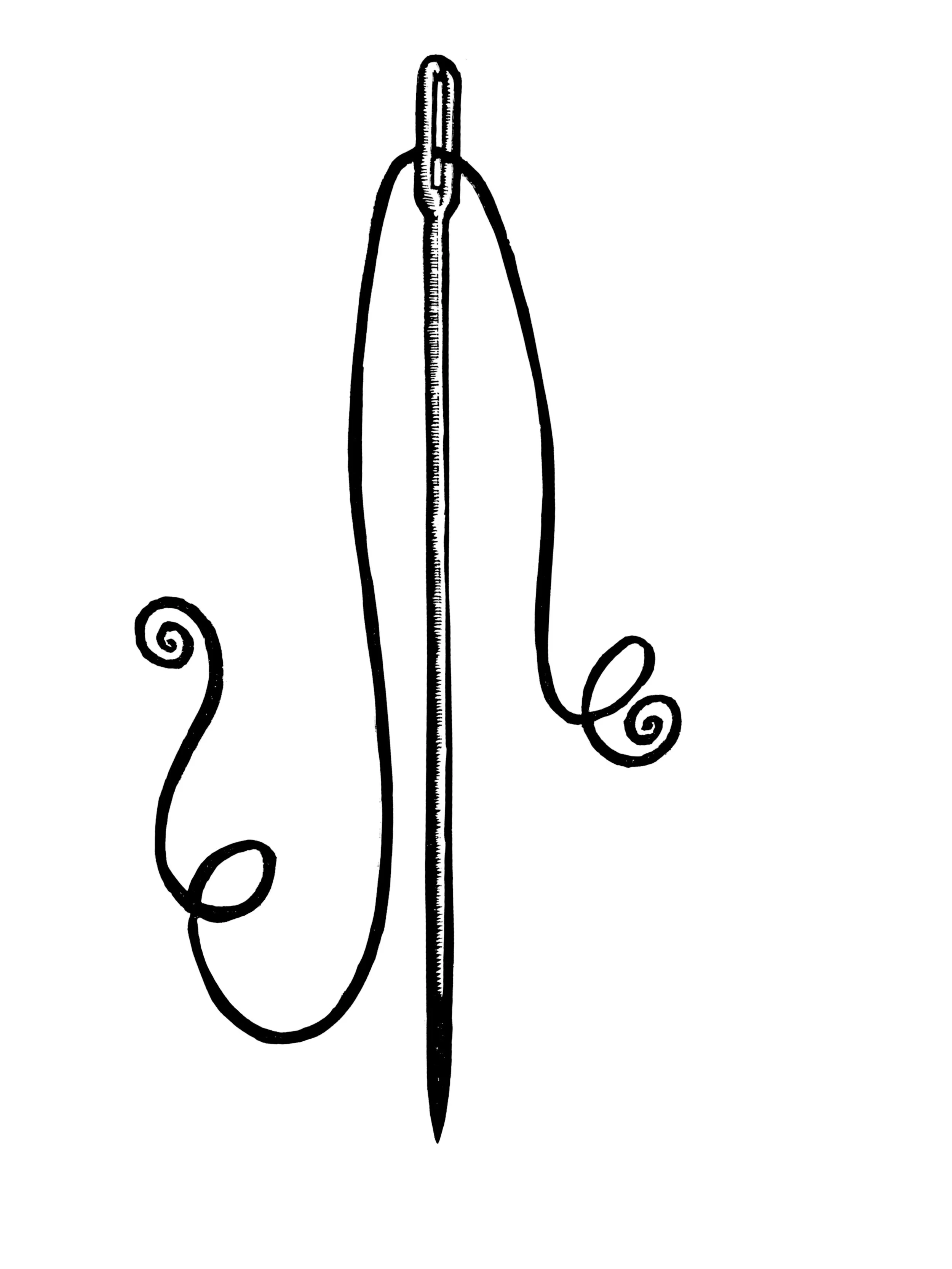
LA AGUJA


O’odham Name: Ge Huduns
Meaning: Big straight down (like the sunset)
Ge Huduns is referred to as “La Aguja” (“The Needle”). This mountain sits on occupied Tohono O’odham land, on the east end of what we now know as the Cabeza Prieta National Wildlife Refuge. The colonial name given to the mountain is Sheep Peak and it is a part of the so-called Growler Mountains. The Barry M. Goldwater Air Force Range is north of the mountain. The U.S. military conducts tactical training which includes bomb detonations and aerial target practice on makeshift towns that include schools and religious sites meant to resemble places around the world where the U.S. drops bombs in the name of “freedom”.
The Growler Valley area in which “La Aguja” is located is one of, if not the deadliest corridor in the Sonoran Desert. The lack of water sources, extreme weather, and remoteness of this area makes the passage long and arduous for those that journey north.
Many people navigating north through the desert are disappeared in this remote area of the West Sonoran Desert because of the harsh conditions created under occupation and border imperialism. It is difficult for people to access the supplies they need to sustain life and Search and Rescue (SAR) groups do not have the resources to reach deep within this vast valley with the level of precision required to locate/recover each person that gets disoriented or injured in the desert.
PORTRAIT PROCESS VIDEO
Some of the items I worked with to create the portraits include: the end of a broken shaving razor, an empty tuna packet, a piece of ripped camouflage cloth, rusty cans, a black water gallon, broken glass, and a mop slipper. I also worked with unrooted plants and land relatives such as: dried saguaro cactus ribs, ocotillo limbs, palo verde branches, rocks, and tierra. I used these elements to paint the portraits because –like the mountains– they are members of this ecosystem and carry a certain energy important to the portrayal of this shared space.